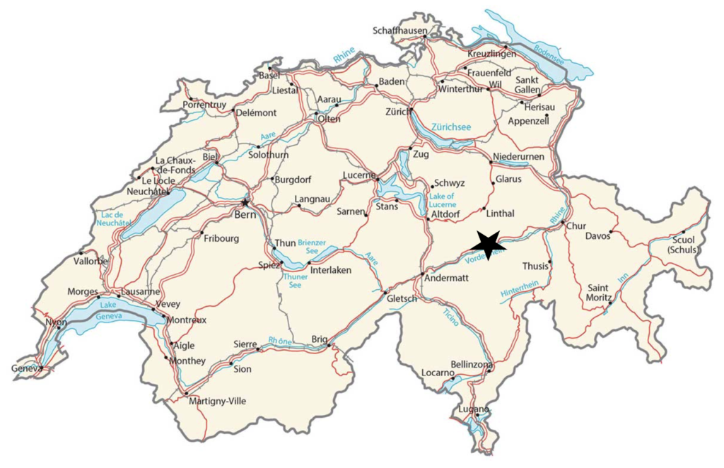
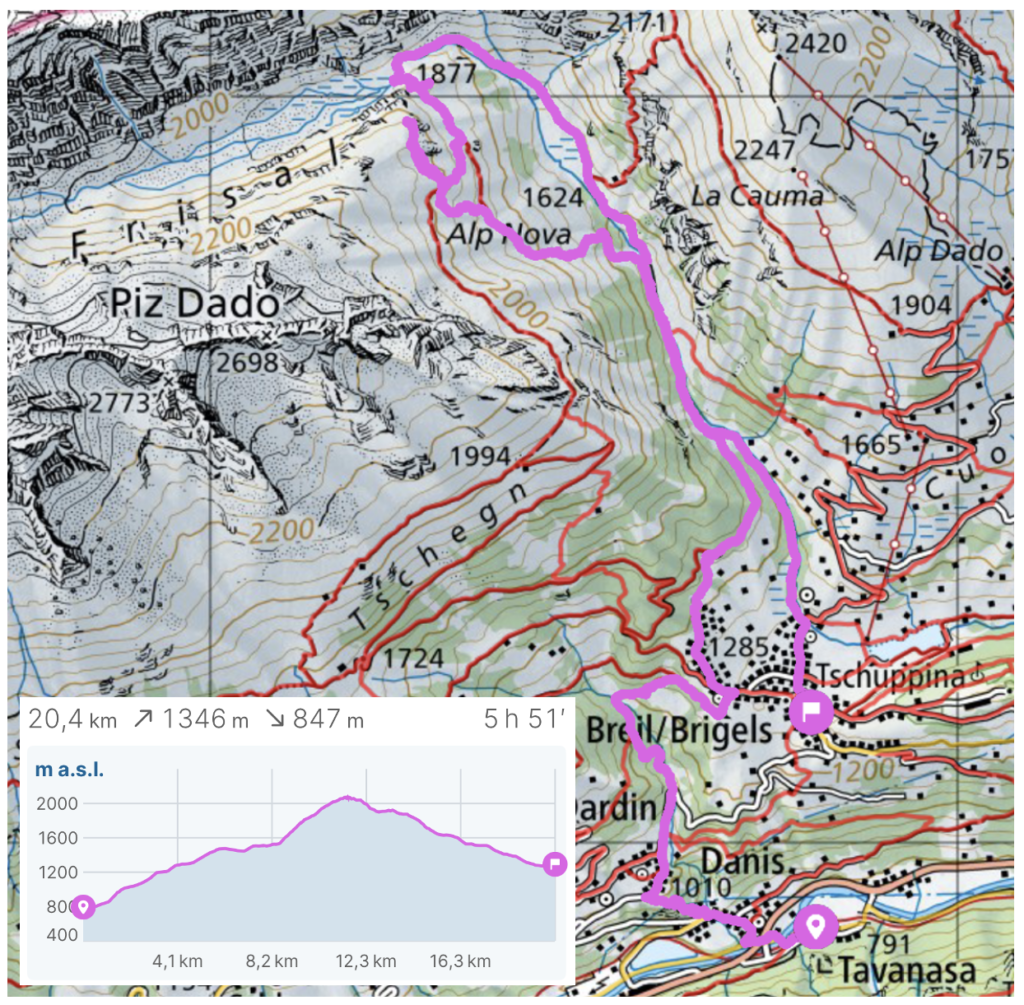
I finally hiked up to Val Frisal at the border between kanton Graubunden and kanton Glarus in early May 2025 after having had this area on my “to-hike” list for a couple of years. I initially got inspiration for this hike from Schweizmobil and the Hochtal Val Frisal hike but as I wanted to hike a bit longer and also make it up to the viewpoint at Grep Gavigliauna I ended up with the hike below.
After a very nice train journey from Chur along the Rhein Gorge (Rheinschlucht), I started the hike in Travansa. There is a bus running from Travansa up to Breil/Brigels, which makes it easy to skip some of the elevation gain and make the hike shorter.
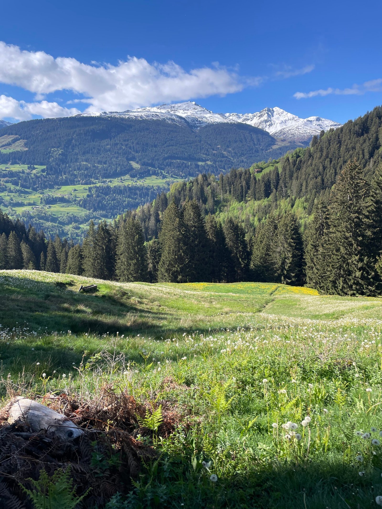
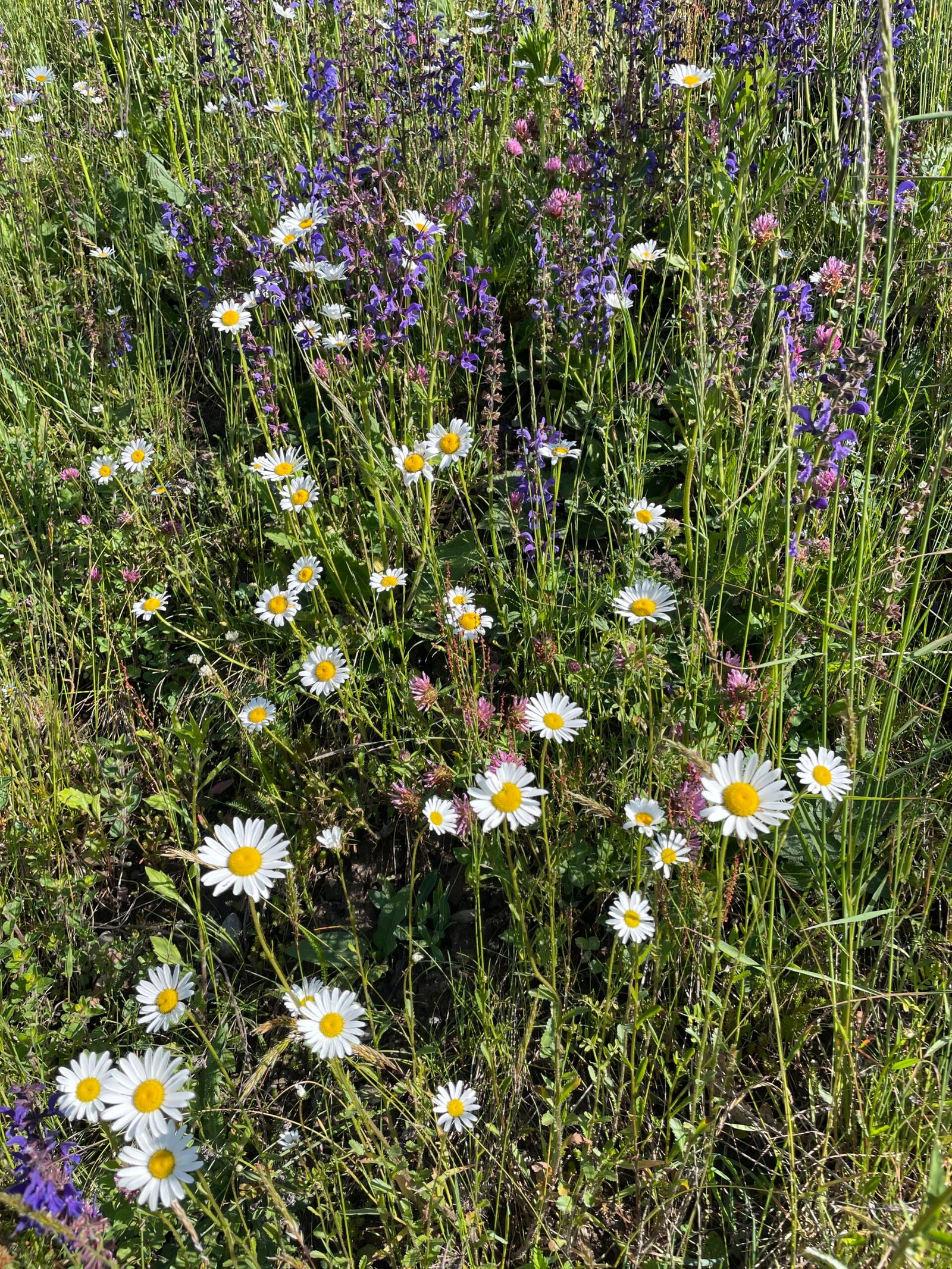
While there was still snow on the surrounding peaks, spring was full underway down in the valley and up towards Breil/Brigels. The weather was great and there were clear views south into Graubünden.
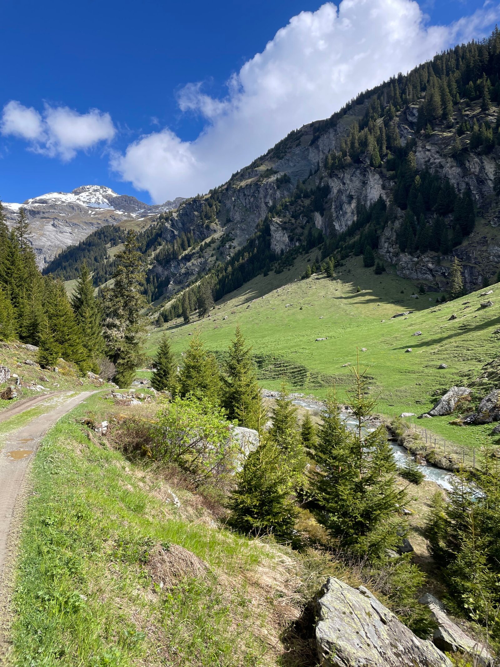
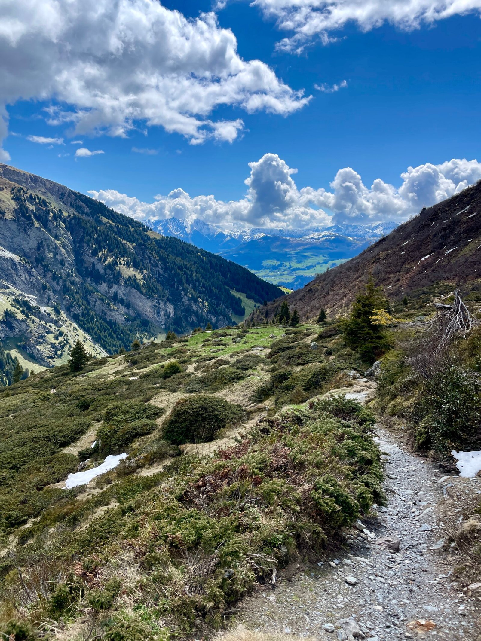
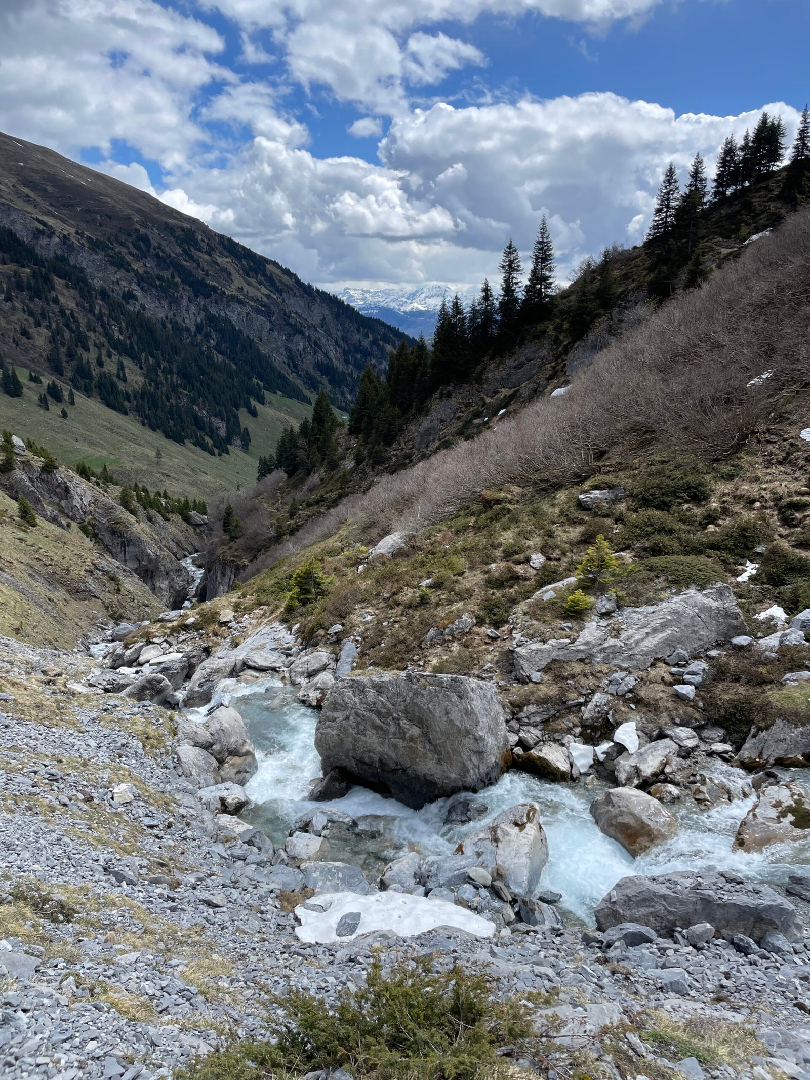
After Breil/Brigels, the route follows the river Flem at the bottom of the valley. The hiking path along the river is mainly a relatively wide road (left picture below), but as you walk further up along the river and turn up towards Grep Gavigliauna, the hiking path becomes more narrow, but still well maintained and easy to hike (right picture below).
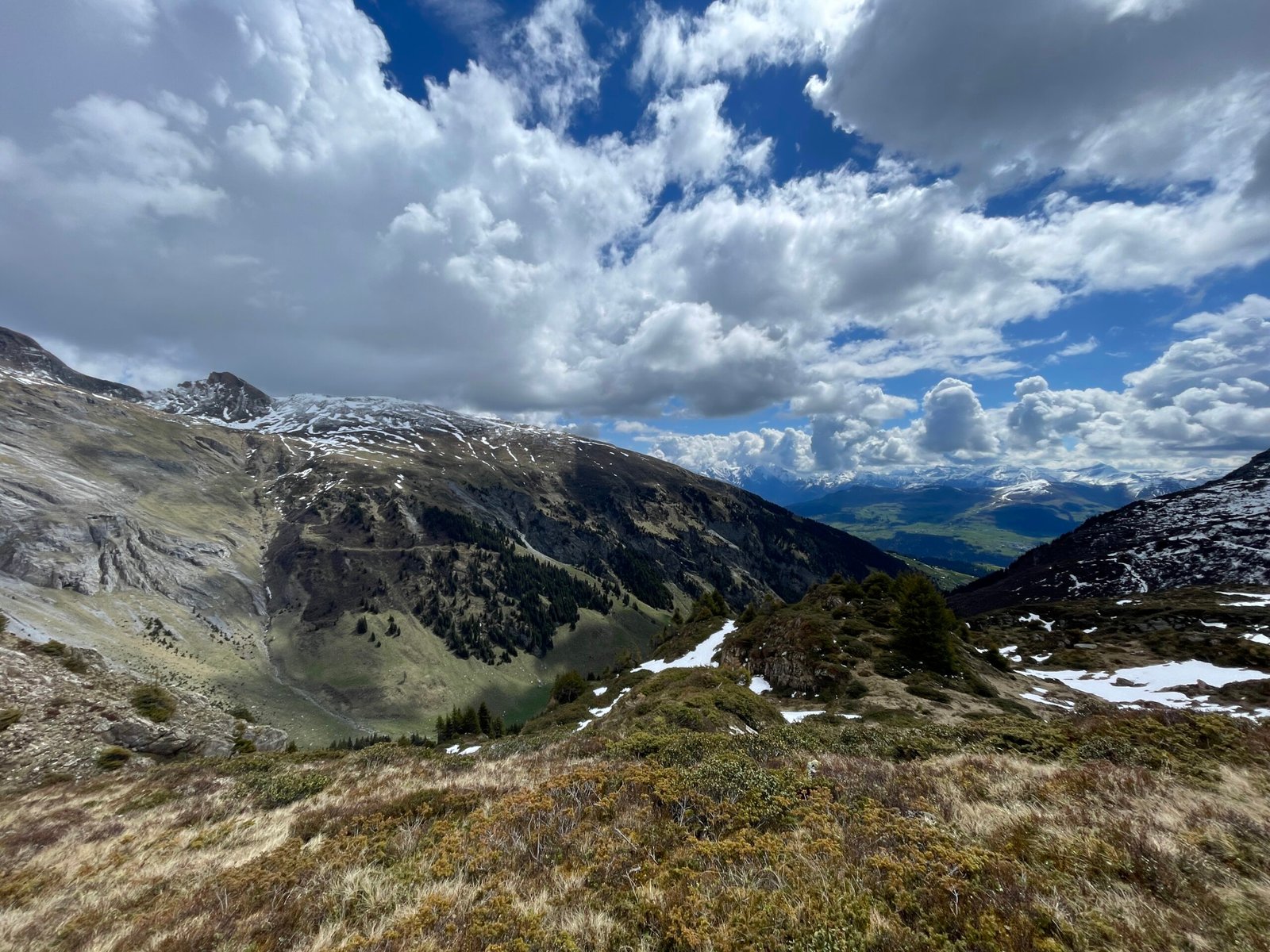
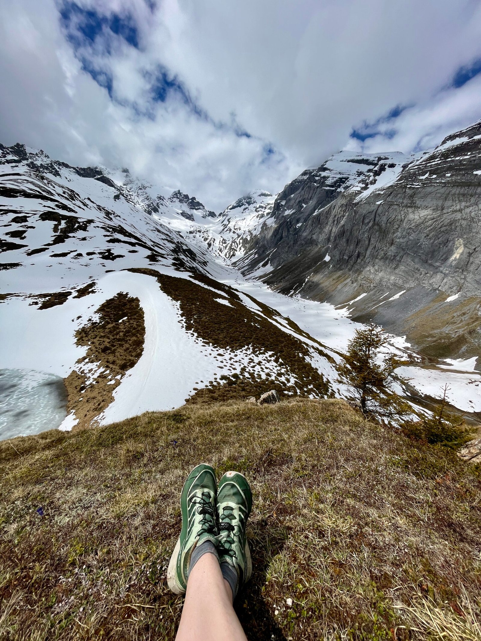
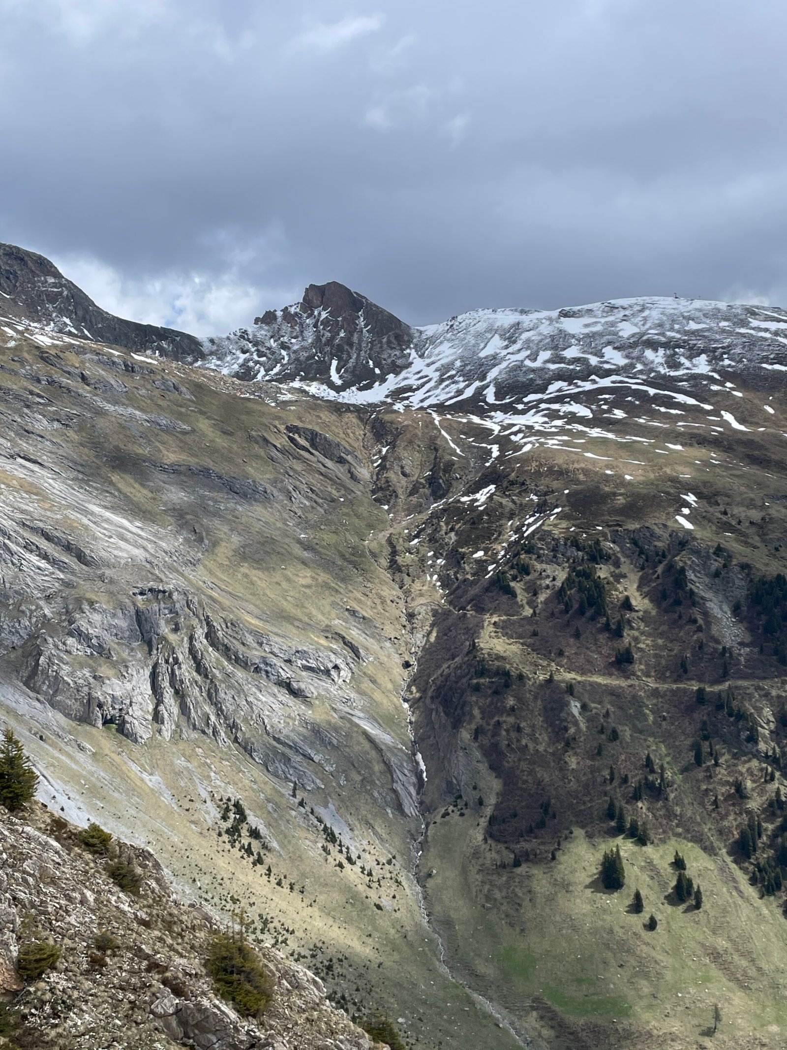
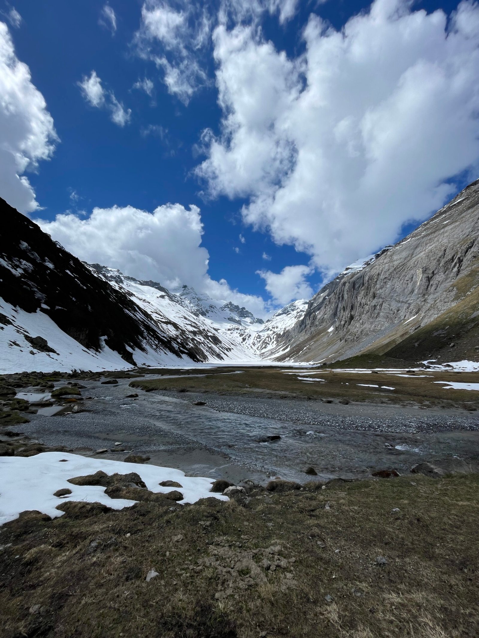
After making it above the tree line, the landscape and surrounding views really open up and when the clouds and weather allows, there are great views far into Graubünden. I knew there would be snow at the top but luckily it wasn’t so bad that I couldn’t reach the viewpoint I had aimed for and it really payed off.
When I planned this hike and looked at the map, I could see that there was a viewpoint at the top, Grep Gavigliauna. I included it in the hike and it is definitely a place I can recommend you to go if you visit Val Frisal. There’s a little hill just above a small lake with amazing views into Val Frisal (left picture below). I had lunch there and it was amazing to see how much the views and shadows changed within the valley as the clouds moved across the sky.
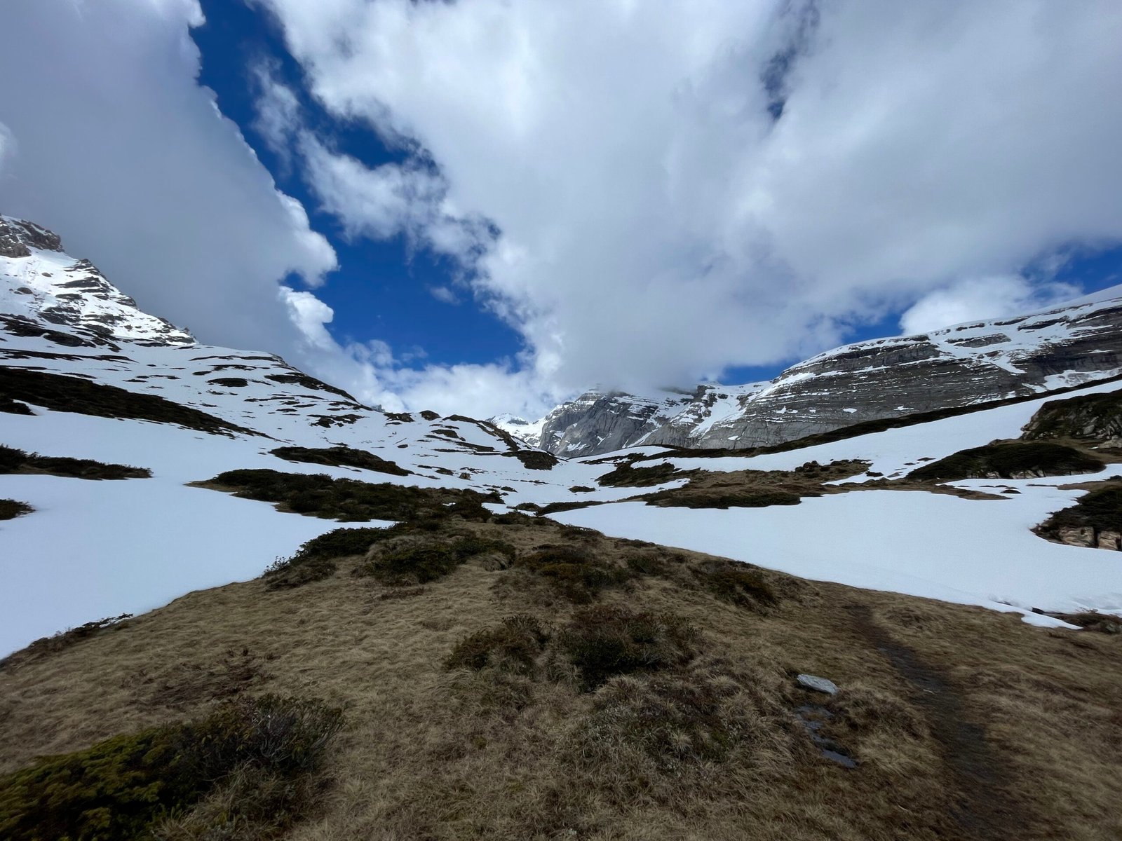
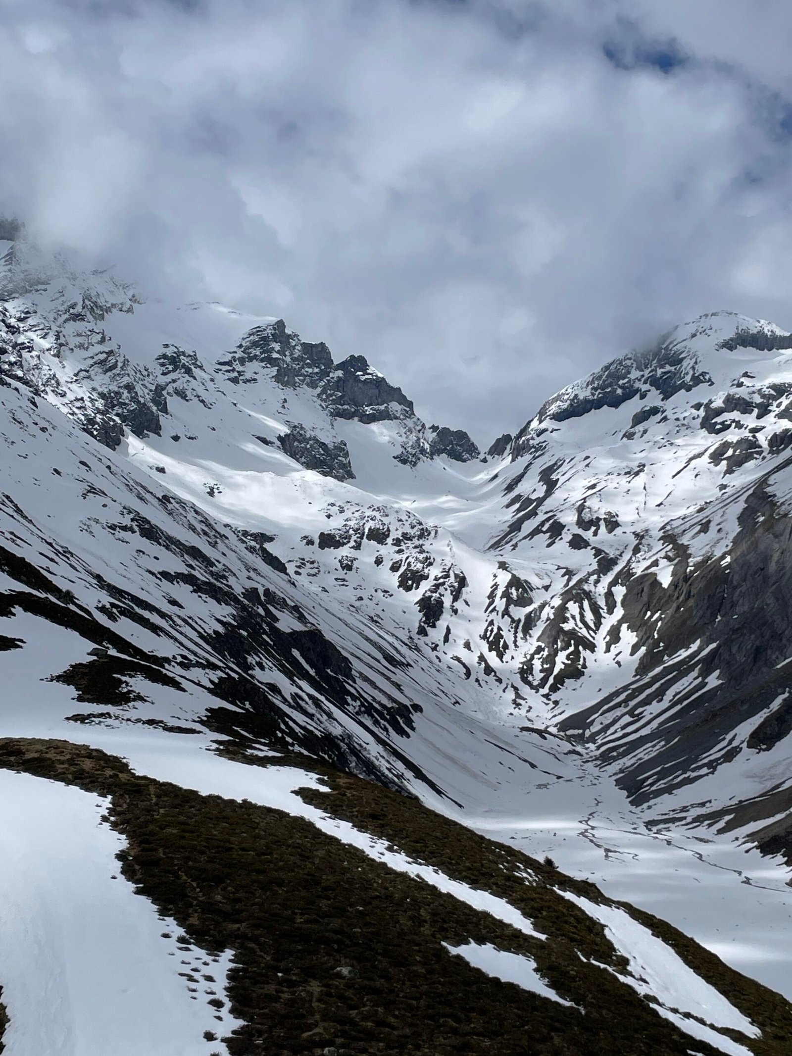
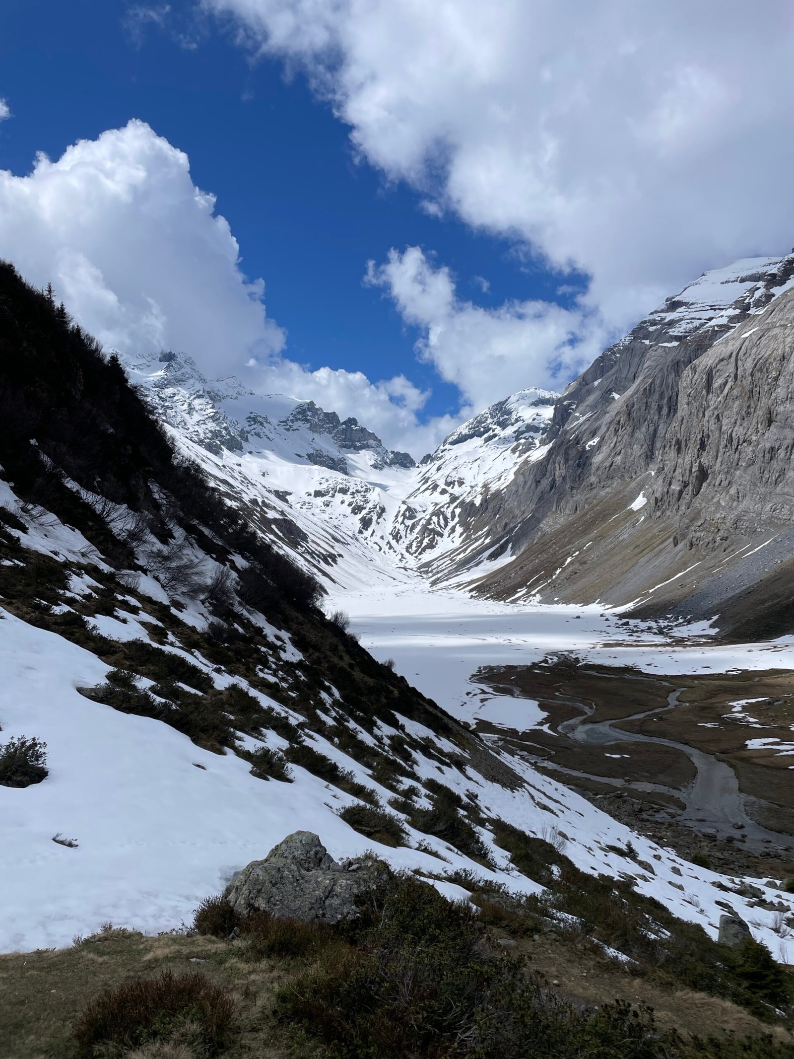
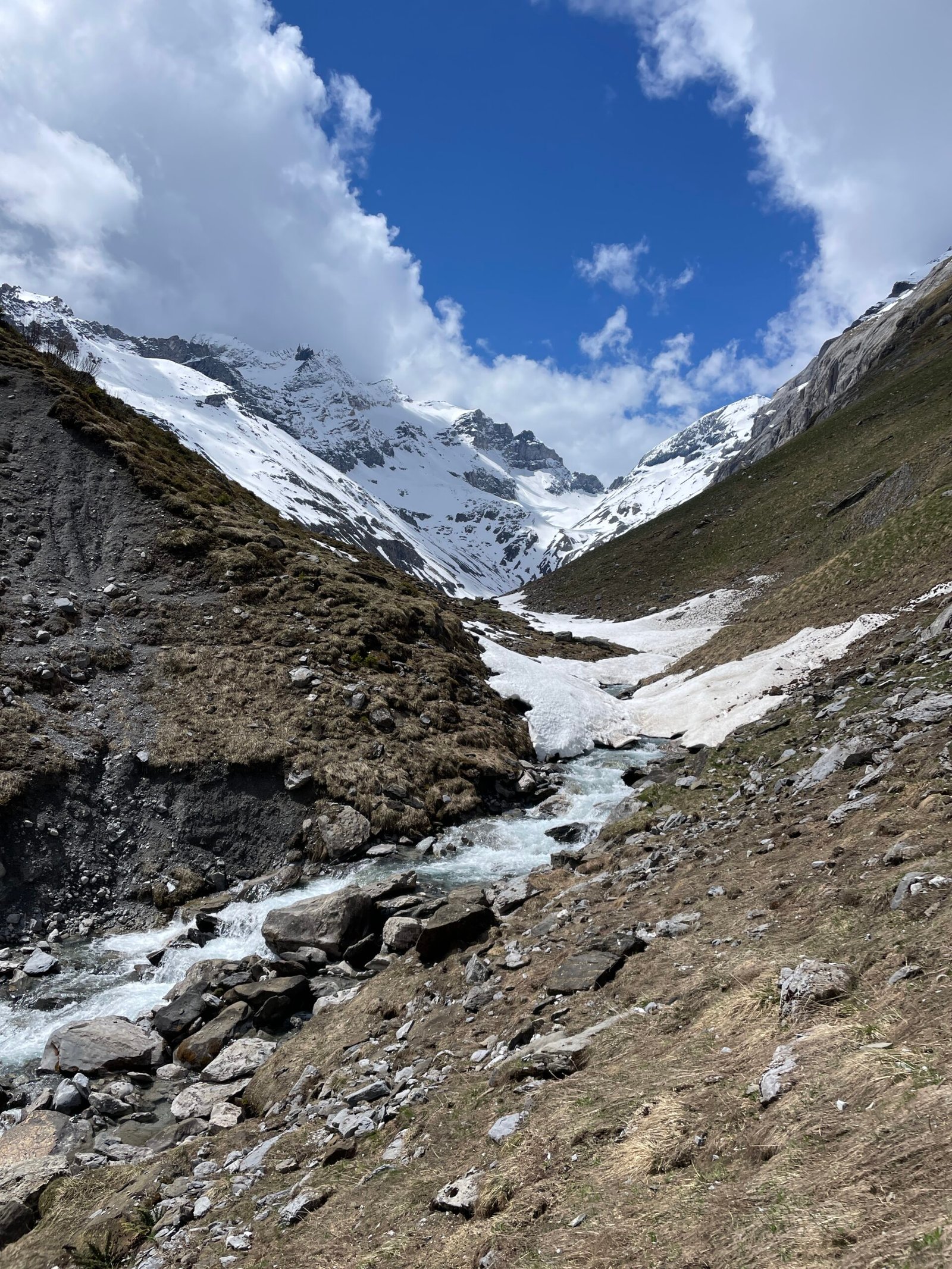
After my lunch break at the top I started the descent into Val Frisal which offered close up views of Piz d’Artgas and the ridge marking the border between the two kantons of Graubünden and Glarus. After about half an hour, the path made a turn and slowly opened up into Val Frisal. Parts of the path hiking down was covered in snow, which made it take a bit longer, but it wasn’t anywhere problematic.
After reaching the valley, I spend some time walking further into the valley as far as the river and snow allowed. Leaving the valley, you again walk right next to the river Flem. The hiking path at the top is agin more narrow but well maintained and towards the end opens up into a wide gravel road.